ZIP+4 Code
A ZIP Code is a postal code used by the United States Postal Service (USPS).
The ZIP code is the part of the address that designates delivery areas. It indicates the destination post office or delivery area to which a letter or parcel will be sent for final sorting for delivery.

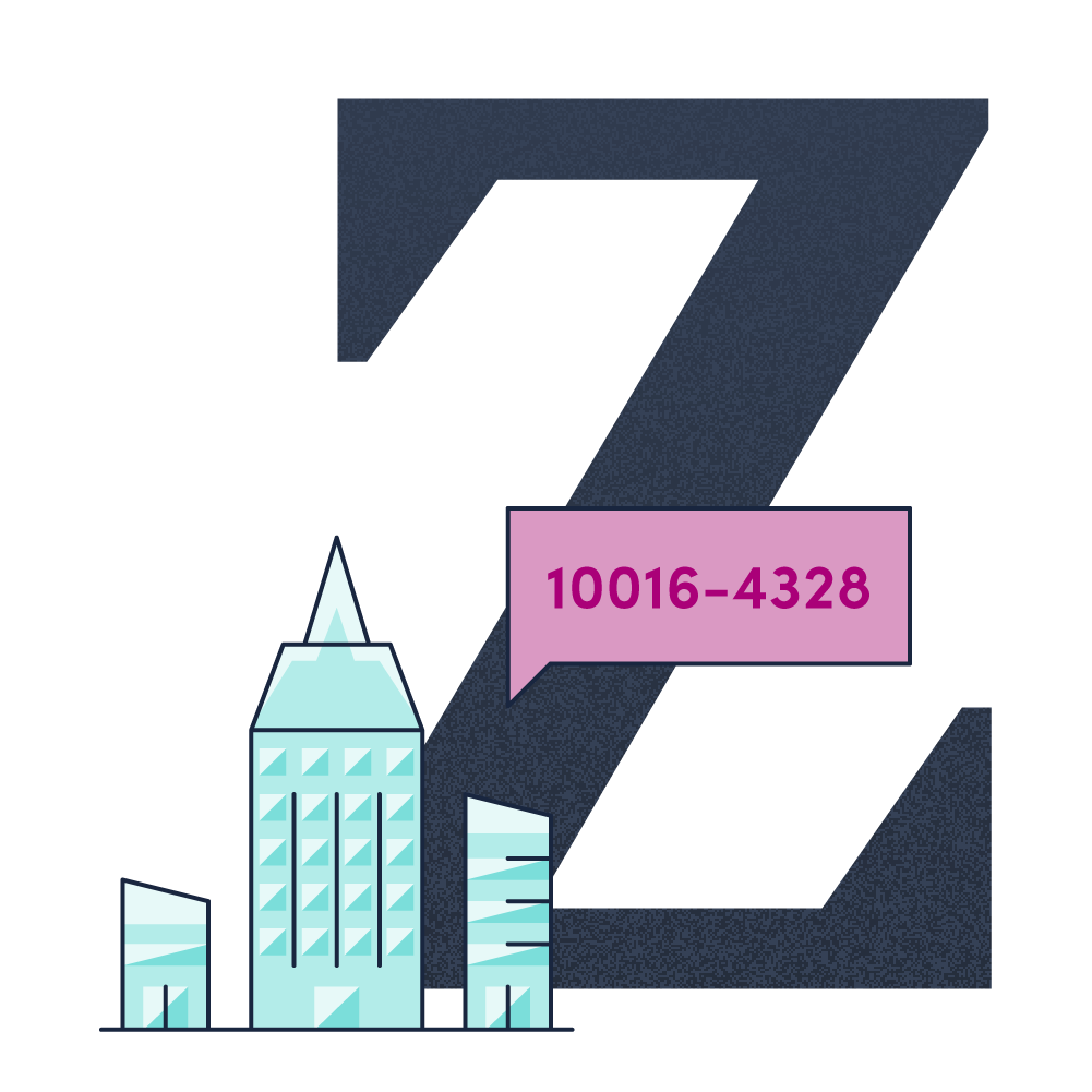
Introduced in 1963, the basic format consisted of five digits. In 1983, an extended ZIP+4 code was introduced; it included the five digits of the ZIP code, followed by a hyphen and four digits that designated a more specific location. The term ZIP stands for Zone Improvement Plan, to suggest that the mail travels more efficiently and quickly.

The first five digits identify the area of the country and the delivery office to which the mail is directed. ZIP codes start with a zero (0) in the northeast and gradually get higher as you move west. ZIP codes in the far west start with a nine (9).

The sixth and seventh digits point to a delivery sector, which may be several blocks, a group of streets, a group of Post Office boxes, several office buildings, a single high-rise office building, a large apartment building or a small geographic area.
The last two digits represent a delivery segment, which might be one floor of an office building, a side of a street, specific departments in an office, or specific Post Office boxes.
Using the correct ZIP+4 assists the USPS in effectively sorting the mail and therefore reduces the number of times your mail is handled and can decrease the chance of a non-delivery or error.
Did you know?
- Addresses that receive high volumes of mail have their own unique ZIP code e.g. Wal-Mart HQ, the Empire State Building, and the White House.
- There are around 42,000 ZIP codes in the United States.
- ZIP codes are also used in credit card authorization and to determine insurance ratings.
- Postal codes in Canada do not include the letters D, F, I, O, Q or U as the OCR equipment used in automated sorting could confuse them.