Try it yourself
Simply enter any UK location or postcode in the box provided and click "Find" to perform the search.
Enter up to 5 locations or postcodes, per IP address per day, to see Loqate's geocode solution in action.
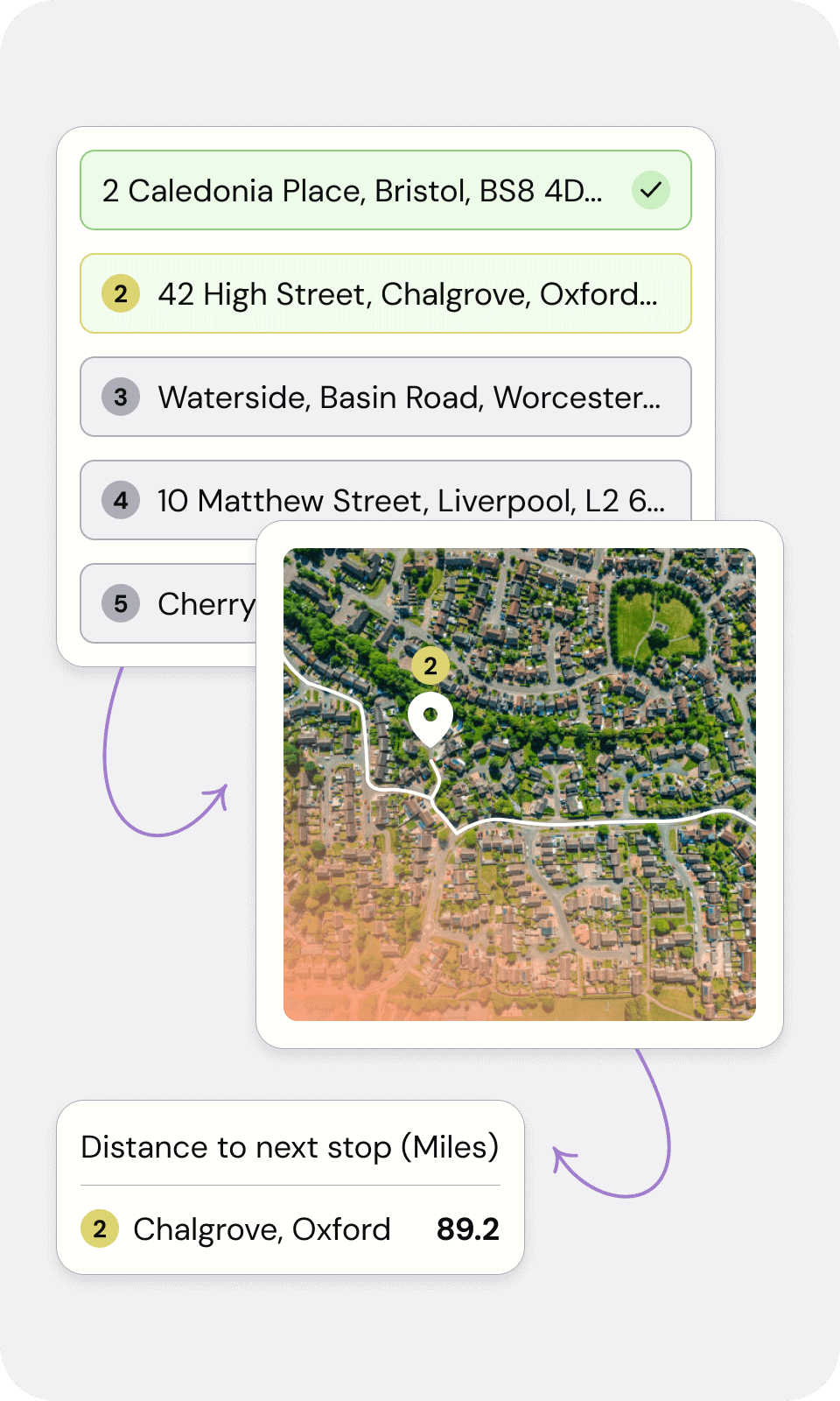
Let customers know expected times of delivery with planned journeys and times.
Speed up the process of calculating mileage claims by measuring distances accurately.
Ensure all business mileage claims comply with HMRC regulations.
Loqate’s Geocoding solution will append digital latitude and longitude data to addresses, augmenting location datasets with the most accurate and up-to-date geospatial information
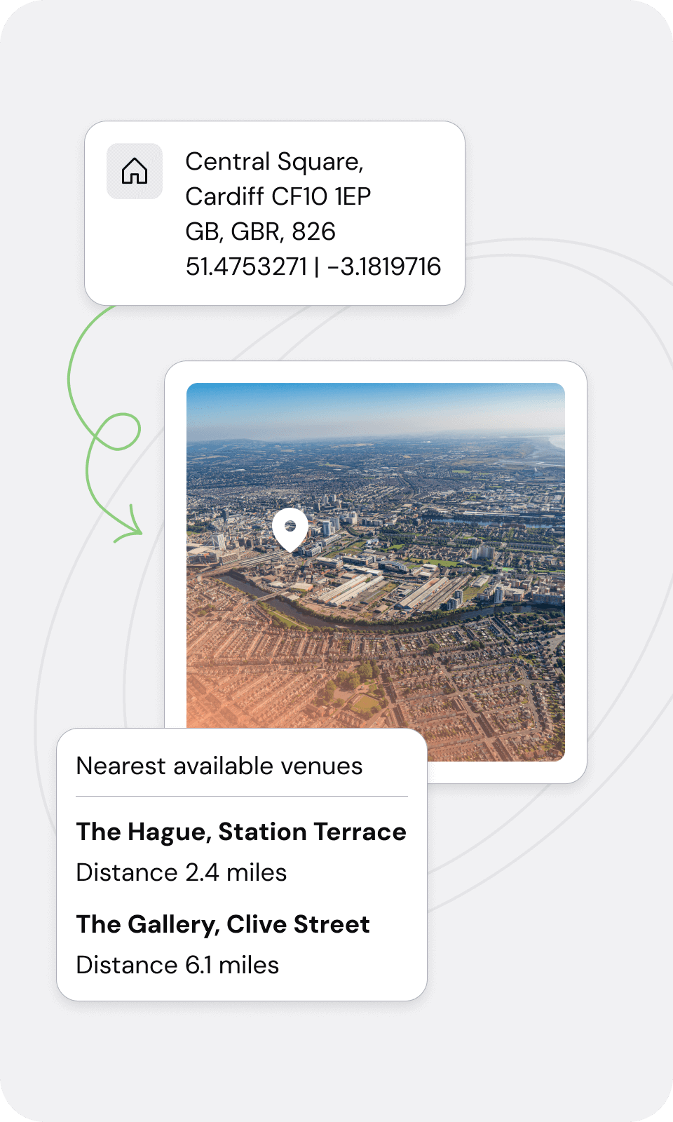
Loqate’s Reverse Geocoding solution identifies locations nearest to a latitude and longitude coordinate, enabling increased reliability of the location data. Even when addresses are unavailable, our Reverse Geocoding feature provides corresponding addresses for geolocation queries
Specify day and time to take advantage of the optimum speed for specific routes. Use traffic and road speeds for accurate journey and arrival times
Choose the type of distance calculation: straight-line (as the crow flies) or fastest / shortest routes using actual road distances.
Calculate the distance between multiple locations, and use postcodes or coordinates to pinpoint locations. Enables locations to be displayed on a map or passed to GIS applications. Plus the geo-distance field returned will let you know how accurate the geocode is to the address.
Simply enter any UK location or postcode in the box provided and click "Find" to perform the search.
Enter up to 5 locations or postcodes, per IP address per day, to see Loqate's geocode solution in action.
At BT we live by our values - simple, personal and brilliant - Loqate embodies all three. It's a perfect partnership.
Dave Wiggins, Product and Service Manager
Calculate accurate mileage for business expenses claim forms in compliance with regulations from HMRC.
Map out store networks, event locations and more with pin point accuracy. Use our API to integrate and customise for your application or website.
Create the most efficient route for driving deliveries with accurate arrival time estimations for improved customer experience and resource planning.
Geocoding and reverse geocoding help you accurately measure the distance between postcodes. Our software allows you to calculate exact distances to help give you the reliable data you need. Turn a postcode into tangible longitude and latitude coordinates on an international scale. Getting actionable coordinates from an address or postcode has never been easier with our software. Our geocoding API is easy to use and provides you with the precise and accurate data your business needs, from calculating expenses, to optimising routes and locations.