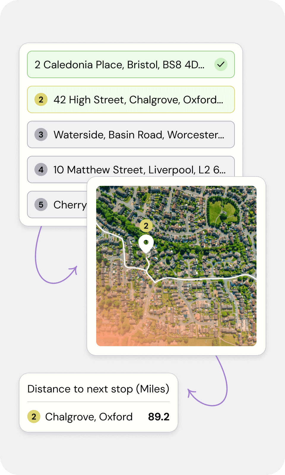
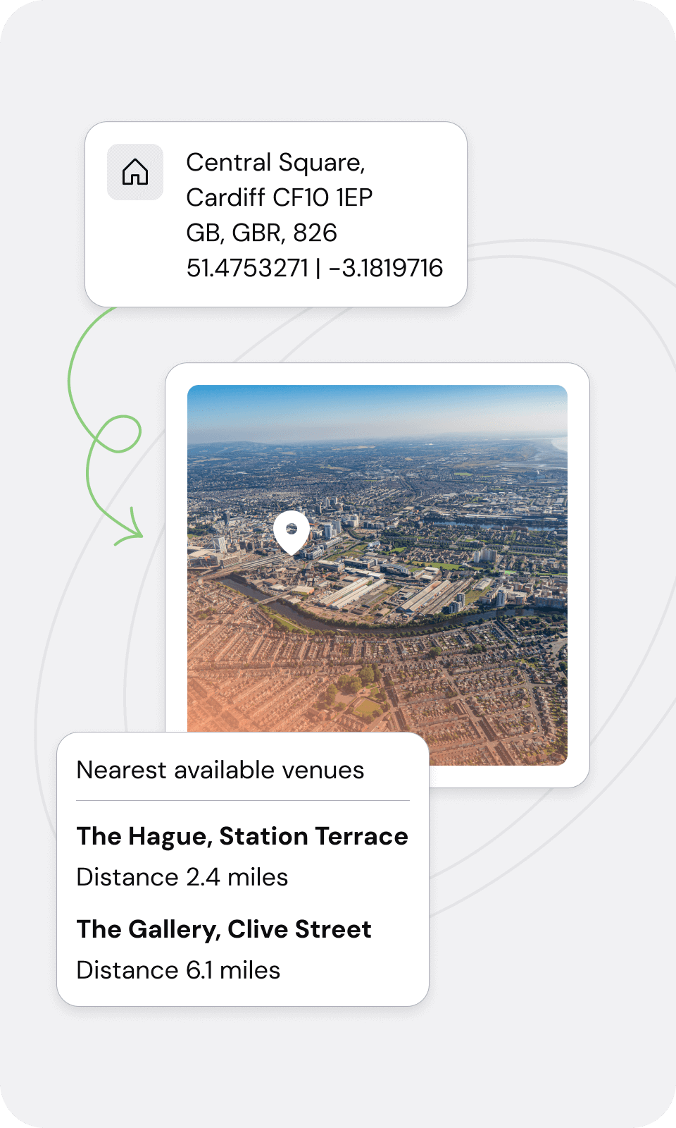
Geocoding is the process of converting addresses, place names, or other location-based information into geographic coordinates, typically latitude and longitude. This transformation is essential for various applications, including mapping, geographic information systems (GIS), location-based services, and urban planning. The geocoding process can be broken down into several key steps:
1. Input Data Collection: Gathering the input data that needs to be converted into geographic coordinates.
2. Data Preprocessing: Preprocessing involves standardizing the format of addresses (e.g., ensuring consistent use of abbreviations), correcting typographical errors, and validating the existence of the addresses.
3. Address Parsing: Breaking down the input address into its component parts, such as the street number, street name, city, state, and postal code.
4. Database Matching: The parsed address components are then matched against a geographic database, which contains a comprehensive list of known addresses and their corresponding geographic coordinates.
In summary, geocoding is a multi-step process that transforms location-based information into geographic coordinates, enabling a wide range of applications across various fields.


